
GIS Project Planning
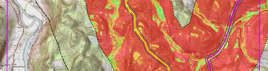
AECOM Burlington utilizes industry-standard global information system (GIS) software to easily and securely share data between both in-house users and clients. GIS is utilized to track survey progress, monitor project location changes, integrate field and lab results, and calculate relevant project status statistics. Shapefile, geodatabase, and base map components, created using GIS software, are easily exported in a variety of formats and projections to accommodate both client and regulatory agency specifications. Global positioning system (GPS) technologies are used in conjunction with GIS-generated data to guide field teams to pre-plotted testing locations and record field findings with sub-meter accuracy. GPS-recorded field data is used in GIS to quickly generate graphic representations that can be rapidly updated as new data becomes available. Graphic representations of project-specific data can be produced at any size or resolution and used in reports, presentations, and client consultation.
GIS technology offers a highly adaptable platform and an invaluable tool at all stages of cultural resource work, from project planning to final reporting. AECOM uses GIS as a core tool for all projects to maximize efficiency, assure accuracy, and clearly convey complex information and ideas to a broad audience.
Project Fact Sheets