
GIS/Data Visualization
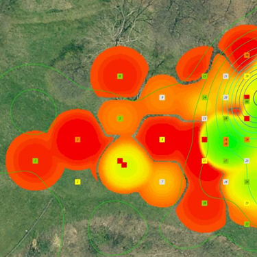
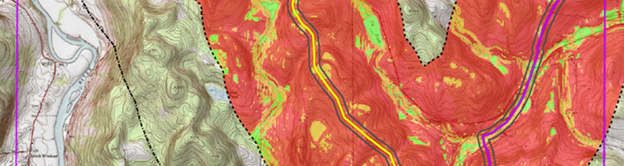
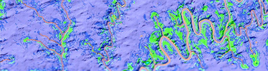
At AECOM Burlington, geographic information systems (GIS) and data visualization are more than just a way to make maps—they are at the core of all our business. With ever-increasing project demands, the ability to be agile in data management, field support, analytics, and report production are critical for project efficiency and competitive advantage. To achieve this, AECOM Burlington employs GIS and visualization technology from project inception to completion, so that our projects are born digital. This approach benefits from the realization that all data have a spatial component, and addressing this dimension from the beginning of a project saves time and money down the road. AECOM Burlington uses industry best practices, along with cutting-edge techniques to harness the utility of spatial data and analysis. Standard software, such as ESRI products and open-source solutions, are applied with a suite of modeling and analytical techniques to projects of all sizes and scopes.
Services