
Spatial Analysis
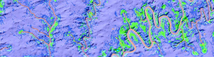
AECOM Burlington’s spatial analysis services help discover and understand the complex relationships within your project area. Our spatial decision support systems utilize environmental features—such as ground slope, water proximity, and soil arability—to predict locations of heightened sensitivity for Native American archaeological resources. For historic-period sensitivity, a GIS-based analysis of historic-period maps digitizes and evaluates the location and distance of historic roads and structures relative to proposed project locations. Historic sensitivity is further refined with thorough research into the towns, municipalities, and counties of the associated project area. Viewshed analysis is used to help reduce our research area size when determining visual impact of proposed projects upon historic sites. These studies are extremely helpful in focusing our areas of interest prior to field work.
Regardless of technique, spatial analysis provides a detailed look at relationships and patterns that would otherwise be difficult to discern. Like all of our GIS and data-management services, final datasets can be output in a variety of formats. High-resolution report graphics, accurate field maps, and even 3D models can be produced, as needed.
Project Fact Sheets