GIS/Data Visualization
3D Modeling
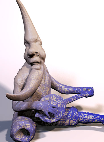
AECOM Burlington offers a full range of data visualization and 3D modeling services. We have the capabilites and expertise to develop 3D models based on anything from multi-billion point clouds derived from LIDAR surface scanning to purely conjectural data. The procedural workflows we employ allow for rapid revision and turn-around during the development phase.
High end 3D graphic and animation components are increasingly important in meeting modern standards and expectations for project documentation. Imagery is often better at facilitating comprehension among diverse professional review committees, as well as the general public. All of our models and datasets can be exported in ascii formats for future-compatible archival storage.
Our 3D Modeling and Data Visualization services include:
- Point cloud processing
- Artifact modeling
- Animated site fly-throughs
- Stereographic asset generation
- Conjectural model development
- High-resolution rendering
