GIS/Data Visualization
Cartography
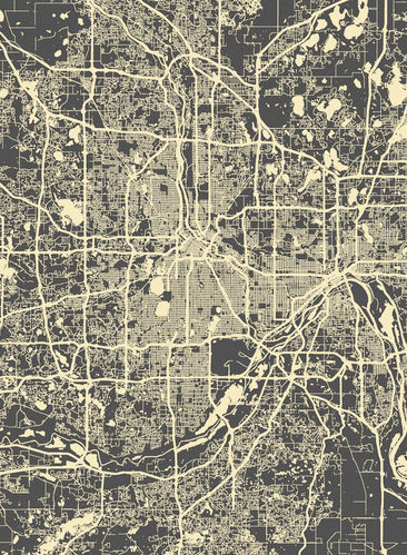
AECOM Burlington's cartographic services can provide everything from field and research to report and presentation maps. Our research and field maps help archaeological teams gain a thorough understanding of a site before the ground work begins. Techniques such as georeferencing historic maps and soil survey data overlays help us maximize efficiency and artifact recovery rates.
Final maps can be reproduced at any size or resolution making them suitable for report use, web distribution, or poster display. Artifact distribution, excavation unit summarization, and surficial data overlay are just a few of the map types we are able to produce. The GIS base files are developed with industry standard software and can be easily shared between users. Shapefile and base map components can be exported in a variety of formats and projections to accomodate a broad range of client specifications.
Our GIS cartography services include:
- Historic map georeferencing
- Shapefile generation
- Field map creation
- Poster design
- Site data overlay
- Unit summarization
